

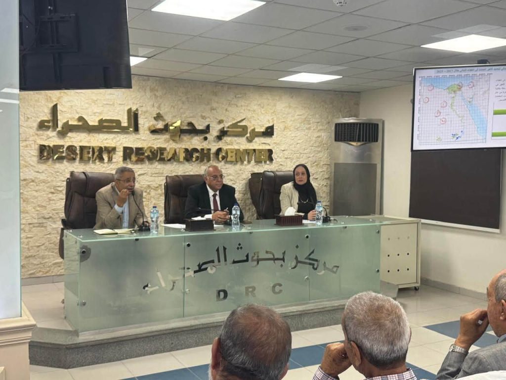
As part of Desert Research Center’s strategic plan to enhance reliance on modern technologies for sustainable planning and the prudent management of natural resources, Dr. Hossam Shawky, President of DRC, convened a meeting to review the activities and achievements of the Remote Sensing and Geographic Information Systems (GIS) Unit.
During the meeting, the latest applications of the unit in analyzing the spatial and temporal dynamics of vegetation cover, utilizing remote sensing technologies, were presented. Dr. Hossam Shawky emphasized that remote sensing and GIS technologies constitute pivotal tools for monitoring natural resources and analyzing environmental changes. makers.
Dr. Mohamed Ibrahim, Supervisor of the Remote Sensing and GIS Unit, presented the findings of a study that relied on Landsat 8 satellite imagery and the Normalized Difference Vegetation Index (NDVI) to analyze changes spanning the period from 2017 to 2025. The results delineated areas that experienced either an increase or a decrease in vegetation cover, thereby contributing to the evaluation of ecosystems, the monitoring of land-use and vegetation-cover changes, and the bolstering of environmental planning and natural resource management.
